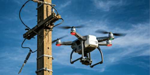
Drone
Leveraging the latest in drone technology, SREERAM GEO offers high-resolution aerial surveys and data collection services. Our drone solutions provide unparalleled accuracy and efficiency, enabling precise mapping, monitoring, and analysis of large areas. Whether for infrastructure inspection, land surveying, or environmental monitoring, our drone services ensure comprehensive and reliable data to support informed decision-making.

GIS & Remote Sensing
Our GIS & Remote Sensing services deliver cutting-edge geospatial analysis and mapping solutions. Utilizing advanced satellite imagery, LiDAR, and other remote sensing technologies, we provide detailed insights into terrain, land use, and environmental conditions. These services are essential for urban planning, resource management, and infrastructure development, enabling our clients to visualize, analyze, and interpret spatial data effectively.

Asset Inspection
SREERAM GEO's Asset Inspection services focus on maintaining the integrity and safety of critical infrastructure. Our team utilizes advanced tools and GIS technology to conduct thorough inspections of assets such as power lines, pipelines, and other utilities. We provide detailed reports and actionable insights, helping our clients ensure the reliability and longevity of their assets.

Engineering Services
Our Engineering Services integrate GIS and IT solutions to optimize project planning, design, and execution. We offer a wide range of engineering support, including network design, spatial analysis, and infrastructure development. Our expertise ensures that every project is completed efficiently, on time, and within budget, with a focus on quality and precision.

GIS Property Mapping
SREERAM GEO specializes in comprehensive GIS Property Mapping services that support property management, taxation, and urban planning. We conduct detailed surveys and implement GIS-based systems that provide accurate and up-to-date property information. Our services help local governments, real estate developers, and urban planners make informed decisions and manage properties effectively.


